Monday, February 28, 2011

Murray Peak — Palm Springs Best View

Today I had a later shift at work so I'd have time to go out and do a little hike in the morning. I wanted to get a little elevation gain in so I chose to do Murray Peak—also known as Murray Hill—in Palm Springs.  The trailhead is a bit of a drive from my house but the hike is so good it's definitely worth it.  I'd have to rush so I could get home and shower before work but I've run to the top in less than an hour before so I figured I'd be OK.  Of course, back then was a bit more fit, younger and, let's say, a tad lighter in the weight department.  If nothing else, this will be a good gauge of just how old, fat and out of shape I've become.


The trailhead is at the end of S. Barona Rd. in Palm Springs.  It's a little cul de sac with just two houses off Bogart Trail.


The trail's been around for quite a while but this sign is relatively new.


The trail quickly gains elevation and gives you breathtaking views of the San Jacintos.


Although it may be the switchbacks and not the view that is taking my breathe away.


Murray Peak, my ultimate destination, is the pointy peak in the distance.


I'm sure glad this trail sign is here because without I very well could have missed the trail.


The trail is shared with mountain bikers and it's easy to see why some hikers are resistant to allowing bikes on a lot of trail.  The trail degradation here is pretty significant.


It's nice to see the snow while hiking in perfect 70º weather.


You have to leave the Garstin Trail and head onto the Wildhorse Trail before hitting the Clara Burgess Trail to the top of Murray Peak.


The trails here all well marked and well traveled. 

There are picnic tables at the top of Murray Peak but I won't have time to sit down and enjoy a nice lunch today.  I've got to get back.  No getting to the top in less than an hour for this old man.


From the top you can look east over the Cathedral City cove and beyond.


To the south your view takes in Dunn Road, Martinez Mountain and Santa Rosa.


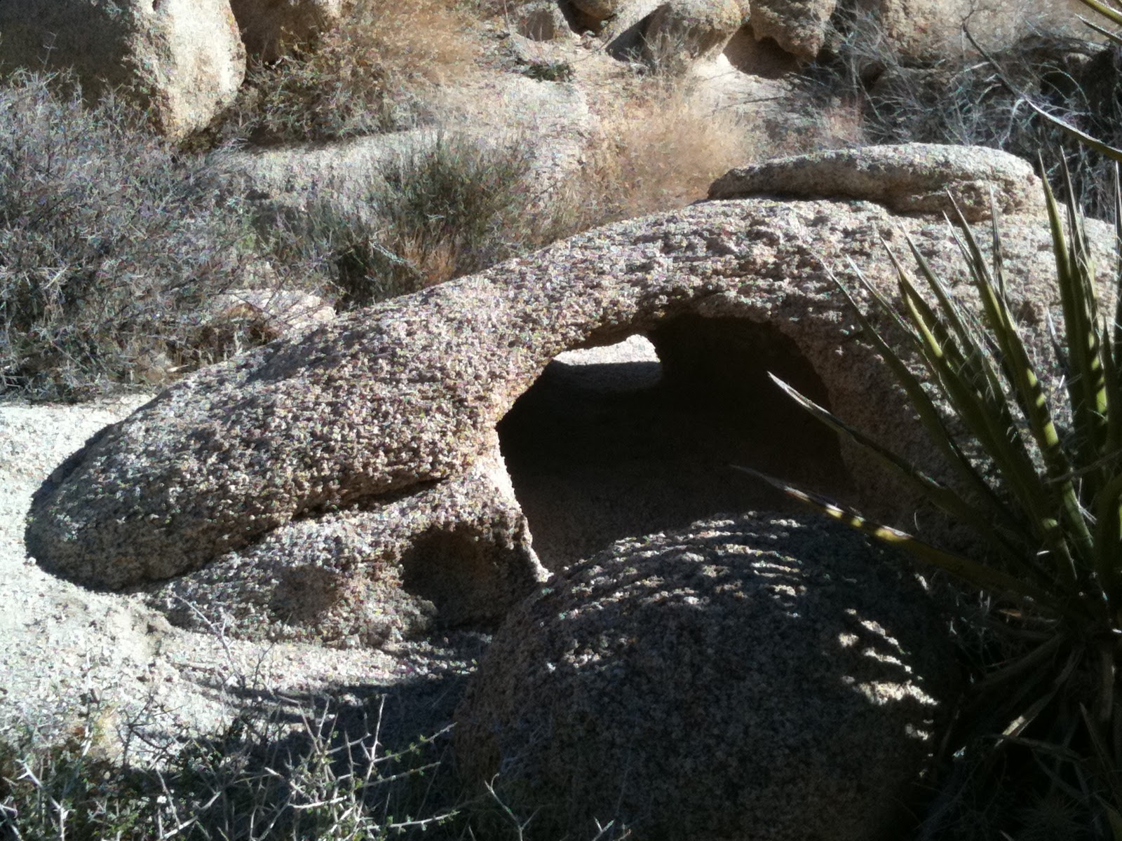
To the southwest is the Desert Divide.  Bullseye Rock can be seen by clicking on the picture to enlarge it.


Fobes Saddle, Spitler Peak, Apache Peak and Antsell Rock are visible in this picture.


To the west is the Wildhorse Ridge and Mount San Jacinto


San Gorgonio is to the North.


I run a bit on the way back to make up time but feel a slight twinge in my right quadricep.  I've seen too many old guys pull hamstrings pushing it a bit too hard and I don't want to join that club so I take it easy the rest of the way down.  My body ain't what it used to be but my mind is still OK.  Didn't the sign below say the Garstin Trail was dedicated in 1951?  Then how come this one says 1966?  Maybe it's a test for old guys and if that's the case I passed.  

Monday, February 21, 2011

Pizza Penance

Last night, my wife brought a pizza home when she when she got off work at Ciro's.  Her parent's started the restaurant back in the 60's and sold it when they retired.  It then was sold again to an absentee owner but now the second owner got it back and my wife's helping them return the place back to its former glory.  It's a long story and I won't get into it but I wanted to see if the pizza had returned to how it was back in the day, when they won Best Pizza in the Desert Sun poll every year.

Now, I have been very good with following my diet since the beginning of the year.  No sugar, no starches, lots of vegetables, limited fats.   It's paid off.  I've lost weight and I feel better.  But, I've got to tell you, that pizza was GOOD.  So good, in fact, that when no one was looking, I had a second piece...and a third.  I felt like Jimmy Swaggert after a night with a hooker.  "I have sinned, oh Lord".

This morning, I set out to do penance.  I've been busy on my days off lately and I won't be able to get out hiking on my next day off so I had to do something.  So, this morning before the kids got out of bed I went out for a run.  I wasn't long--only a mile--and it wasn't fast--around nine minutes--but it helped me escape my Pizza Purgatory.  I have been redeemed!

While certainly not as satisfying and enriching as a long hike in a rugged wilderness, my run was quite enjoyable.  I am going to have to add similar fun runs to my regular agenda.  Of course, how regularly I run will all depend on how often my wife brings pizza home from work.  A man can only resist temptation for so long.

Wednesday, February 16, 2011

Martinez Canyon, Santa Rosa Mountains: Atop the South Bluff

Many of life's adventures are measured in years: marriage, parenthood, the Lewis and Clark Expedition, a Jr. High School dance.  Some adventures take weeks or months but, for me, these days my adventures are measured in hours.  I just never have enough time to really go exploring in the manner I'd like to.  Of course, it could be worse.  It's Monday and everyone else I know is working or going to school.  I should be grateful for the few hours I have to be outside on a perfect winter day.


I head up Martinez Canyon for the 3rd time this year.  This really is my new favorite place.  There is so much to explore and since I only have a few hours at a time to get up here it could take years to exhaust all the places left to discover.


I brought a pair of hiking poles with me this time because they will really help in the rocky terrain and they also make it much easier to topple the unnecessary route markers that someone put up. 


In the center of this picture is a big bluff that caught my attention the last couple times I came down this canyon.  Today, this is my destination.  I want to see if perhaps there is a trail on top of it. 


I am in luck.  Not only is there a trail leading up to the top of the bluff but it's like an interstate highway as far as Indian trails go.  I am getting really excited. 


And then I got to the top.  The trail just seemed to vanish.  I hunt around for it but just don't seem to be able to find out where it headed.  I don't have much time to stay around and look so I just start traveling cross country.  In doing so hopefully I'll find some evidence of previous habitation.


Although this is not really what I was hoping for.


How is it that these things always seem to find me?  Just once I'd like to go on a hike where I don't get scratched, poked or shish kabobed. The odd thing is that one of my hiking poles flicked this thing up into my leg.  Murphy's Law. 


This is truly amazing.  It looks to me like it's the fossil of a breaching Humpback Whale.


I don't really stumble upon the trail again--I'm sure it's up here somewhere--and I wonder if I'd have just done better to follow the canyon up.


I guess I just had to go a bit farther.  There a pretty significant grinding area near the back of the plateau and more.


This mortar is a good six inches deep.


And oddly, it seems like coyotes used it as a toilet.  Scraping the scat out of the mortar I discover it has some palm seeds in it.  That is a very positive sign.  There have to be palms somewhere up here.  And that means water.


More grinding areas


And more.


With these grinding areas at the top of the bluff there has to be a food source somewhere near by.  I look and see significant greenery on the hillside and suspect there may be a spring.  But I've run out of time and have to start back. 


I look farther up the canyon and can only wonder what's to be found up there.  My missing trail, perhaps?


On my way back I decide to take the wash to the east of the plateau.  It's clear of vegetation and looks like it'll be pretty easy going.


And except for a few rocky sections it is.  Of course, following my little adventure boulder hopping in Joshua Tree, this is a breeze.


I get back to the Jeep with time to spare.  I actually got down about thirty minutes quicker than I imagined I would.  I'll have to remember that for next time.  And,  for me, next time can't come soon enough.  

Saturday, February 12, 2011

Rattlesnake Canyon, Joshua Tree National Park

My entire body aches.  I went out for a hike in Joshua Tree National Park today and it was more like a scramble than a hike.  My arms are sore from climbing up and over rocks.  My skin hurts from all the various scrapes and scratches.  But despite my sore and battered body I am exultant; I had a great day.The day would have been perfect but I forgot my camera at home--again.  Thankfully, I have my phone and while the pictures certainly aren't as good as a regular camera they'll have to do.  My friend, Cameron, came along and took some pictures.  When he sends me a link to where they're posted I'll put that up.


Rattlesnake Canyon is a boulder strewn crease on the northern edge of the park near the Indian Cove campground.  It's a bit too cool yet for rattlers but there are plenty of other hazards to be found up there.


We barely get into the canyon and find there's quite a bit of water flowing.


Cameron, who's an expert rock climber brought his 19 year old daughter, Charlene, along.  It's obvious she got his genes because she has no difficulty negotiating the many boulders we are required to climb in the canyon.  I am not quite so young and lithe.  


There is no trail in Rattlesnake Canyon.  You have to find your own way among the boulders and make sure you pay close attention.  If you misstep it's a long way down.


Besides climbing over the rocks it is sometimes required to squeeze through a few.  I'm a bit too large for this gap so I go around.


The hiking, at least at this point, is fun, walking along big boulders along the stream.


The geology here is amazing.  How did this boulder end up stacked on three little rocks?


We pick up a couple of stray Marines from Twentynine Palms who are looking for a cave.  Cameron offers to show them but it's too far up the canyon.  They come along so Cameron can show them a challenging shortcut back to the parking area.


A delicate little arch.


Here's the shortcut--called the Gunsight--that the Marines are going to take back.  Good luck, guys.


The canyon is a place of many wonders and the weather is perfect today, about 72º.


Another tight squeeze.


This rock reminds me of a Picasso sculpture.


We spend a good portion of the day out of the direct sun but sometimes it cuts through the boulders.


But there are some places the sun never shines.  We head into the cave that the Marines were looking for.  There's not much to see in here.  It's dark.


We get up to the head of the canyon and decide that rather than going back the way we came we'll do a little cross country travel and make a loop.


The going was rough to get here but it's nothing compared to our trip down.


The way down is much steeper than the way up.


The going is slow and arduous but still fun. 


Cameron scouts ahead to find a way down. 

There is not one easy step going down this gully.  One moment of inattention could bring about another scratch, a bad fall or death.


Cameron coaches through some tough sections just to make sure his baby girl is safe.  He says he's feeling tired and we'll have to start heading back.  She does not know he's joking and almost has a coronary.  


We just negotiated some incredibly interesting and difficult terrain.  In over five hours we went a little over three miles.


We are finally almost down.


Thank you, JESUS!  It never felt to good to be on solid ground.